Flash Flood
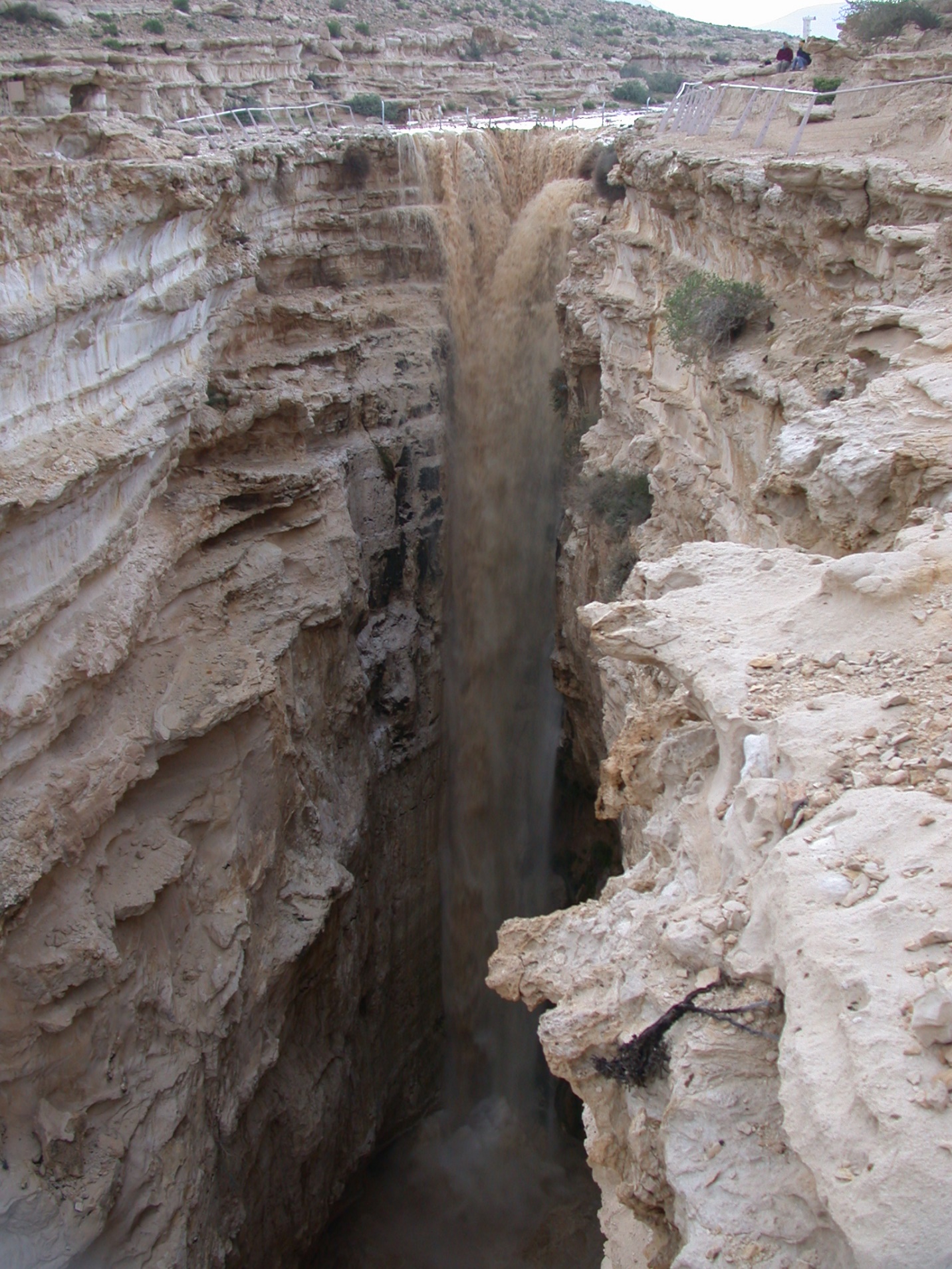
Flash floods are sudden, high-energy flood events that develop within a short time (often minutes to a few hours) after intense rainfall, dam failure, or rapid snow/ice melt. In steep catchments and urban areas with high impervious surface cover, runoff is rapid, and water levels can rise very quickly, giving limited warning time.
In the Mediterranean and MENA context, flash floods:
· Frequently occur in steep coastal catchments and desert wadis;
· Can devastate urban areas and transport corridors in a matter of hours;
· Pose extreme risk to people caught in vehicles, underpasses, and low-lying areas;
· Can interact with industrial zones and critical infrastructure, triggering technological accidents.
Effective mitigation requires integrated early-warning (including radar/satellite rainfall, hydrological models, and local observers), land-use planning that avoids high-risk zones, resilient drainage systems, and strong public awareness (“never drive into floodwaters”).
Key references and platforms
· Copernicus EMS – GloFAS flash-flood products
· Copernicus EMS – EFAS short-range flash-flood indicators
· Copernicus EMS – Rapid Mapping for flash floods
· IPCC AR6 WGII – Mediterranean heavy-precipitation and flood risk (CCP4)